Enviar Email
Lun - Vie: 9:00 am - 5:00 pm
Ver Mapa
Buzón de Sugerencias
Inicio
Quiénes Somos
Servicios
Gestión Territorial
Levantamiento información Predial.
Diagnóstico Físico Legal.
Peritaje y Tasación predios rurales y urbanos.
Levantamiento Imágenes Fotogramétricas.
RGB (Ortofotos)
Multiespectral
LiDAR
Levantamiento Topográfico y Geodésico.
Certificación Puntos Geodésicos.
Gestión Social
Gestión Forestal
Experiencia
GEON&P
Equipos
Noticias
Sistemas de Gestión
Contacto
Inicio
Equipos
Equipos
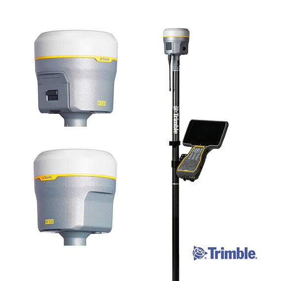
TOPOGRÁFICOS - GPS Diferencial
GPS Diferencial Trimble R12
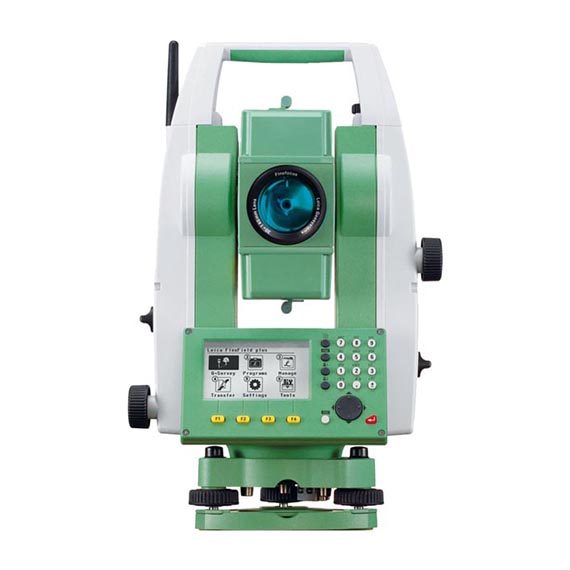
ESTACIÓN TOTAL LEIKA-TS6
Equipos
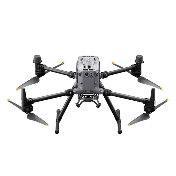
FOTOGRAMÉTRICOS - Drone
MATRICE RTK 350
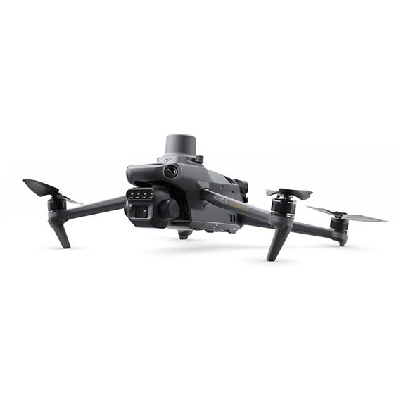
MAVIC 3 ENTERPRISE RTK
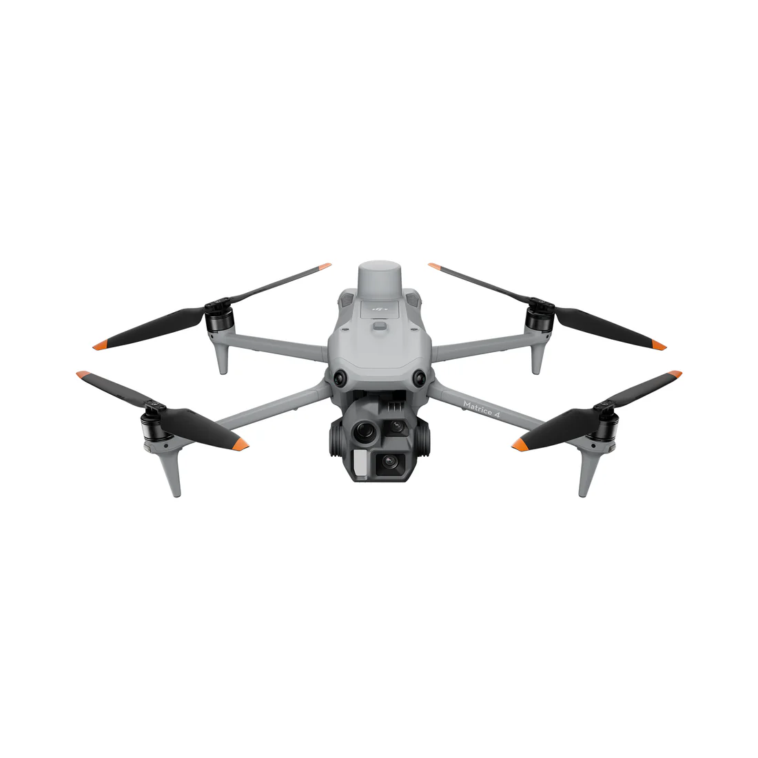
MATRICE 4E RTK
Equipos
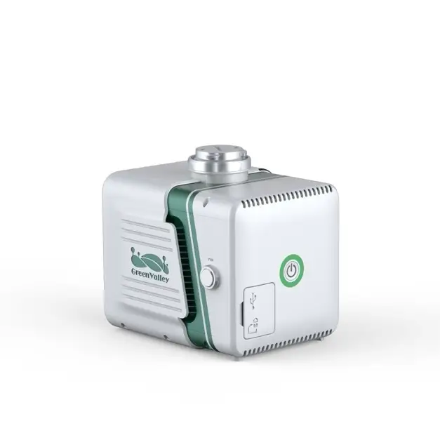
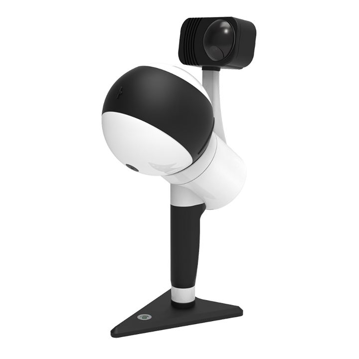
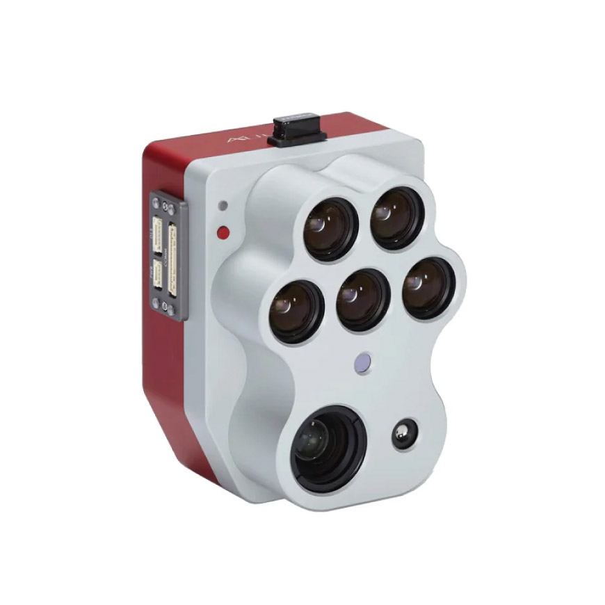
SENSORES
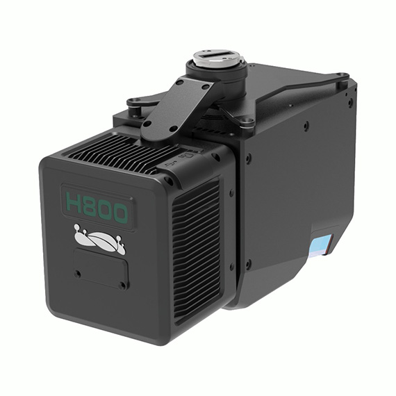
LiAir H800
Descargar PDF
LiAir X3 H
Descargar PDF
Ligrip H300
Descargar PDF
ALTUM PT
Descargar PDF
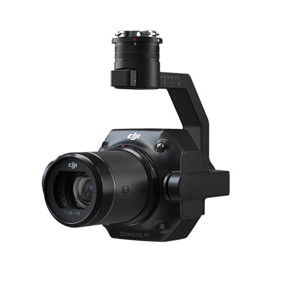
DJI-ZENMUSE-P1
Descargar PDF