Send Email
Mon - Fri: 9:00 am - 5:00 pm
View Map
Suggestion Box
Home
About Us
Services
Territorial Management
Land Parcel Information Survey.
Physical and Legal Diagnosis.
Appraisal and valuation of rural and urban properties.
Photogrammetric Images Survey.
RGB (Orthophotos)
Multispectral
LiDAR
Topographic and Geodetic Survey.
Geodetic Points Certification.
Social Management
Forestry Management
Our journey
GEON&P
Equipment
News
Management Systems
Contact Us
Home
Equipment
Equipment
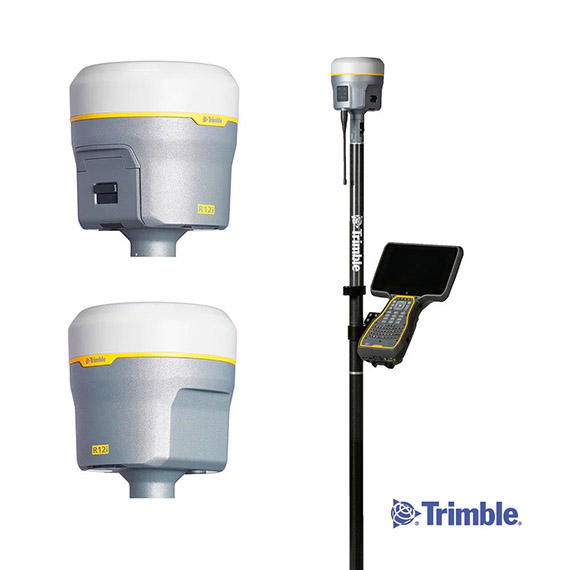
TOPOGRAPHIC Differential GPS
Trimble R12 Differential GPS
LEICA-TS6 TOTAL STATION
Equipment
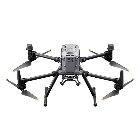
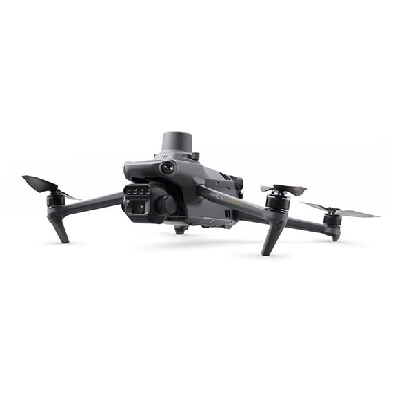
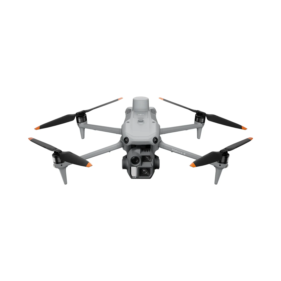
PHOGRAMMETRIC - Drone
MATRICE RTK 350
MAVIC 3 ENTERPRISE RTK
MATRICE 4E RTK
Equipment
SENSORS
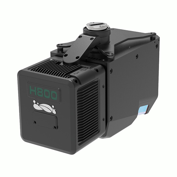
LiAir H800
Download PDF
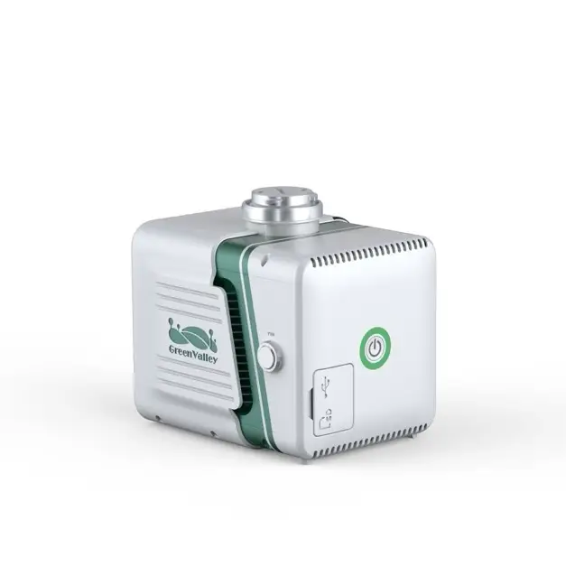
LiAir X3 H
Download PDF
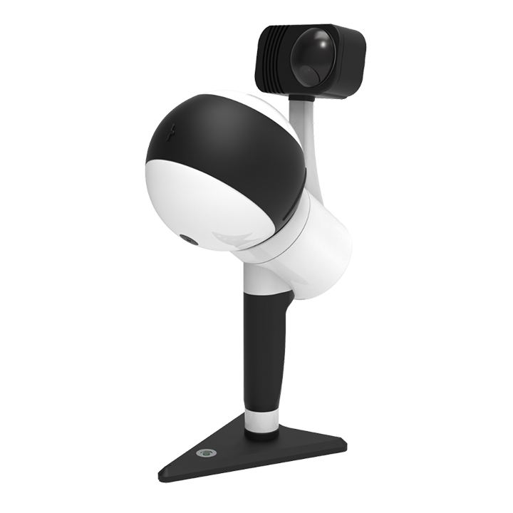
Ligrip H300
Download PDF
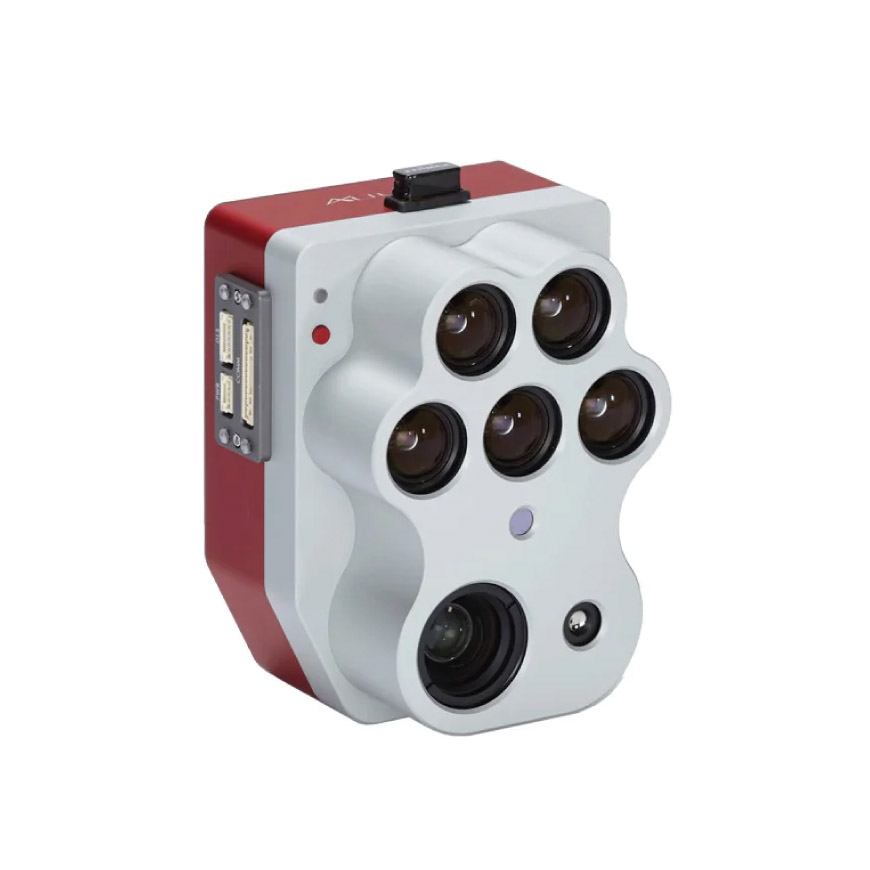
ALTUM PT
Download PDF
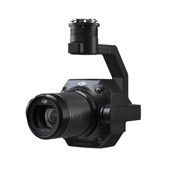
DJI-ZENMUSE-P1
Download PDF