Planning
Phase 1
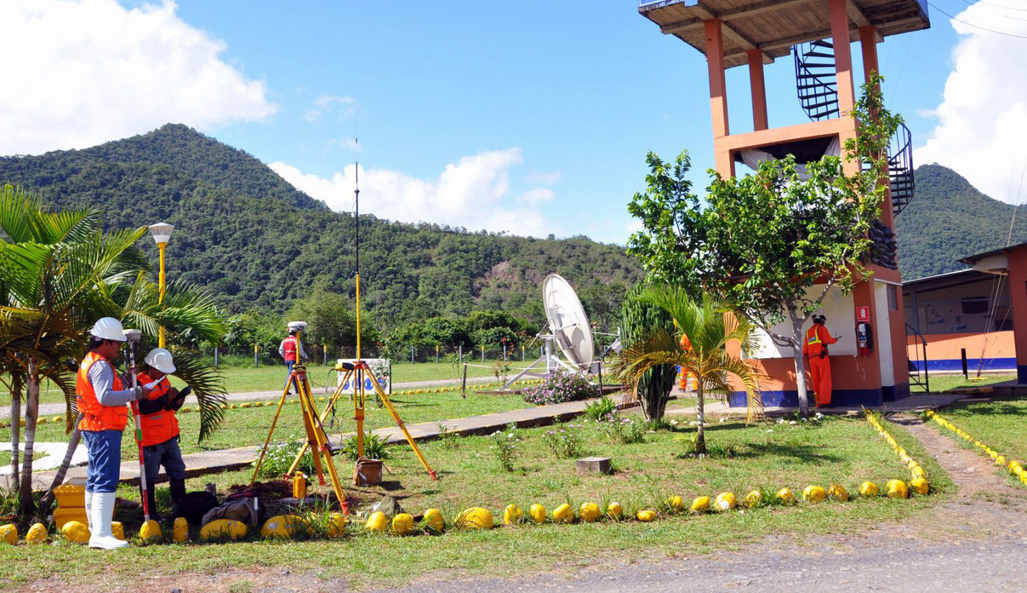
Coordination with the user client to definethe work area.
Management of Access permissions (if applicable)
Written confirmation of the details of the desired deliverables.
Fieldworks
Phase 2
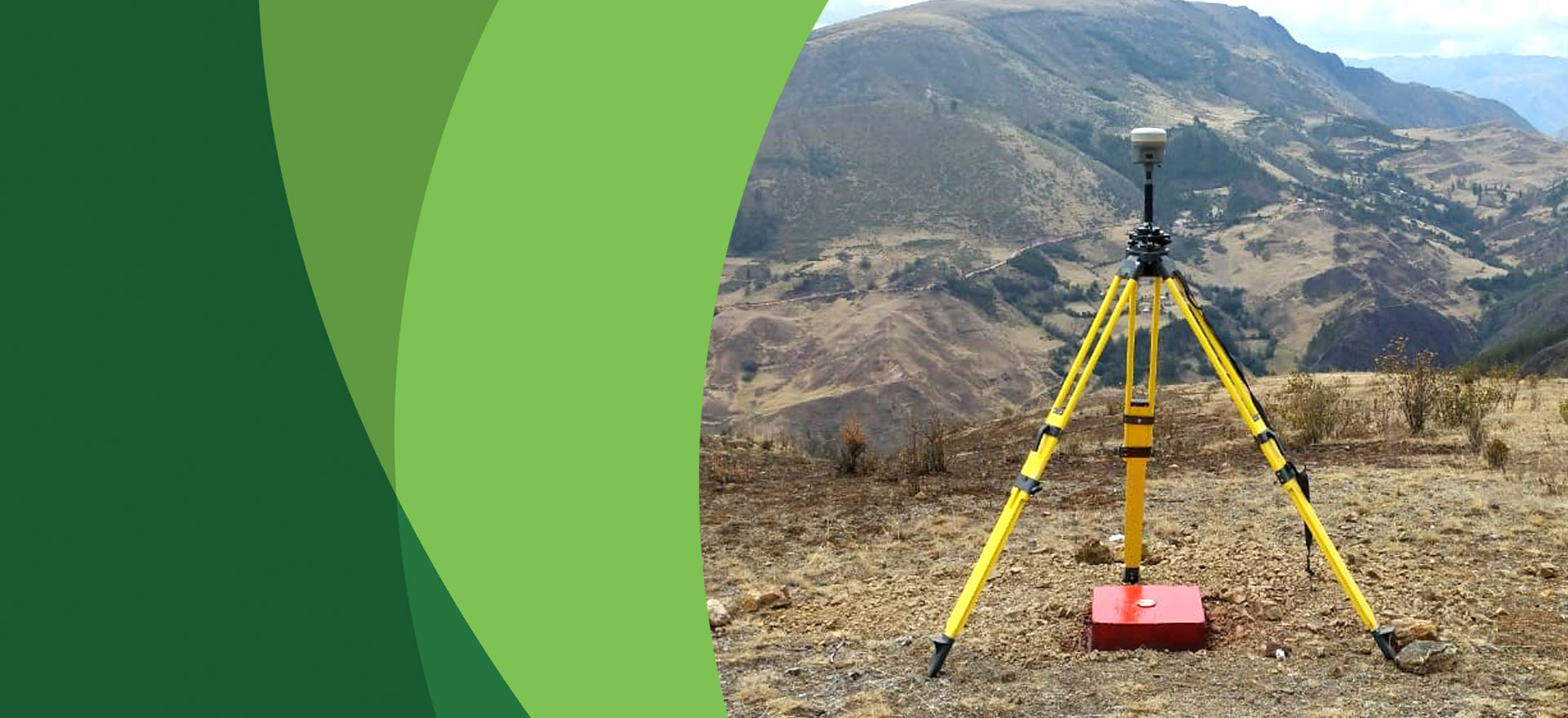
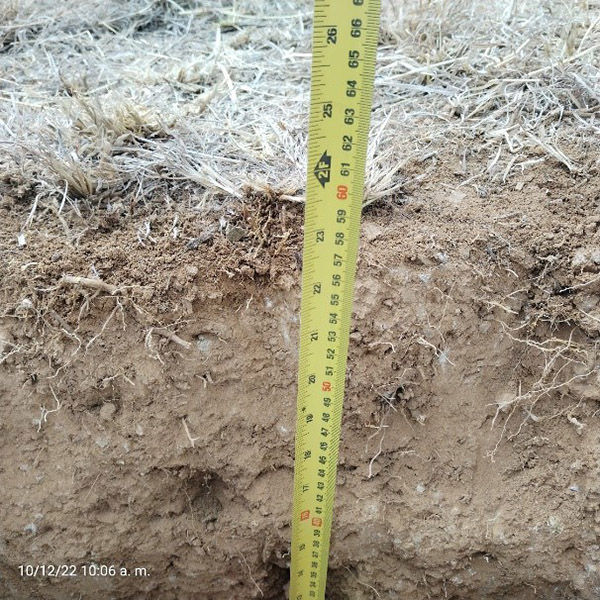
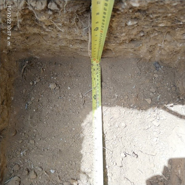
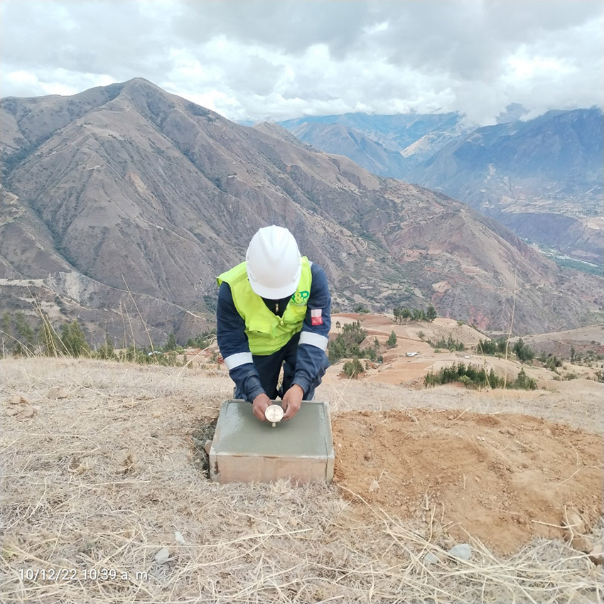
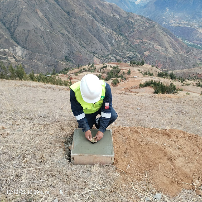
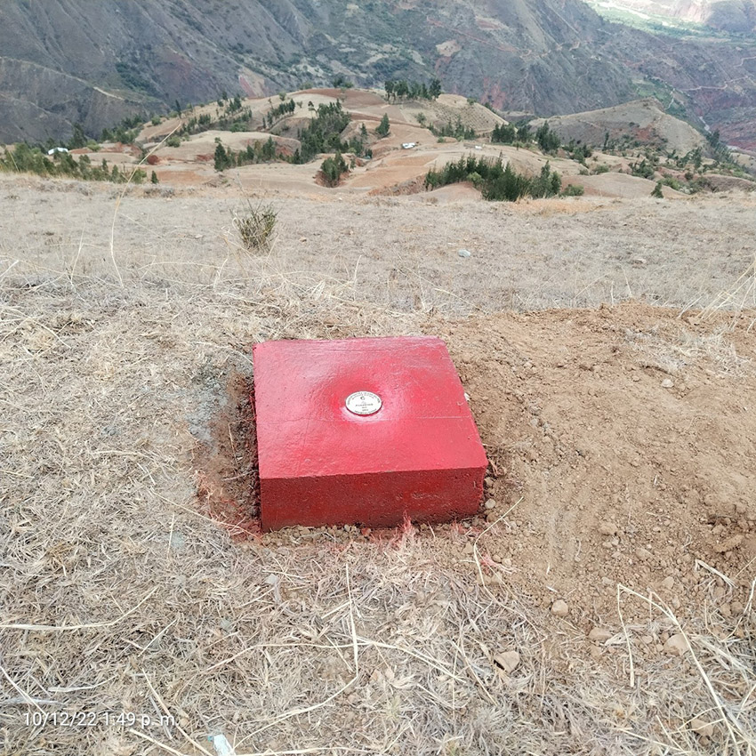
Identify the work area where the monumentation of the landmark will be carried out.
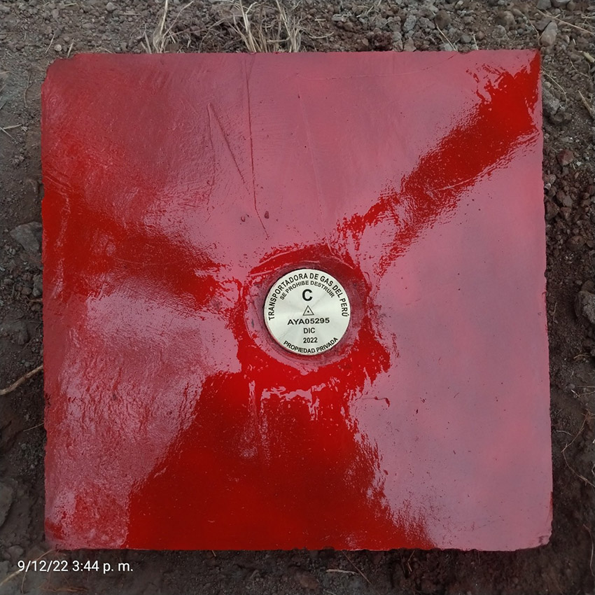
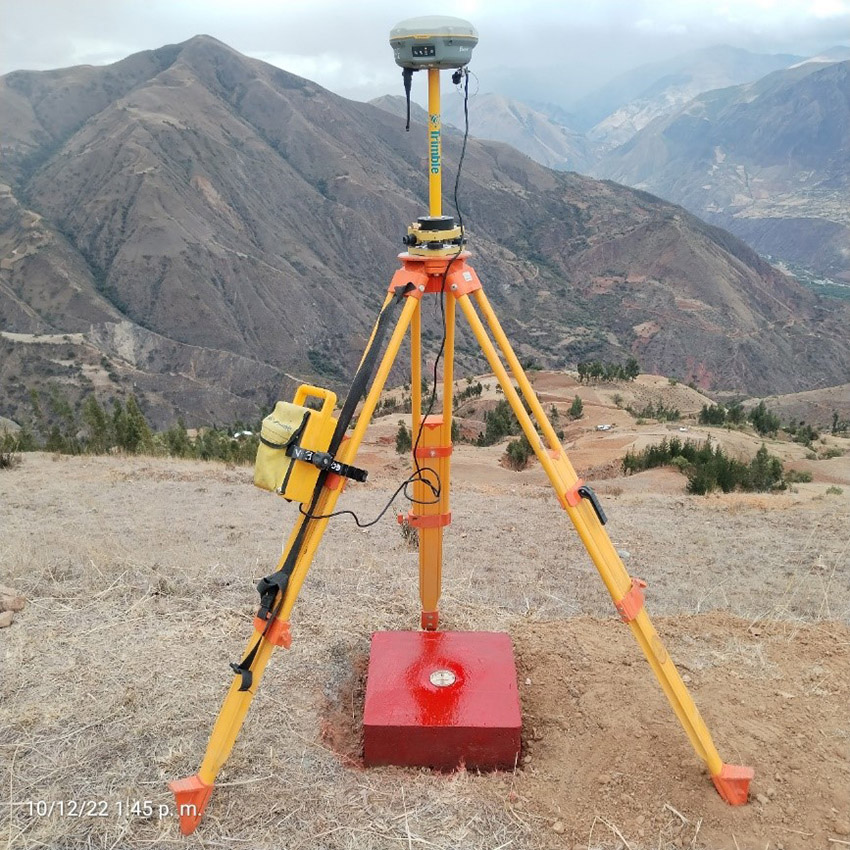
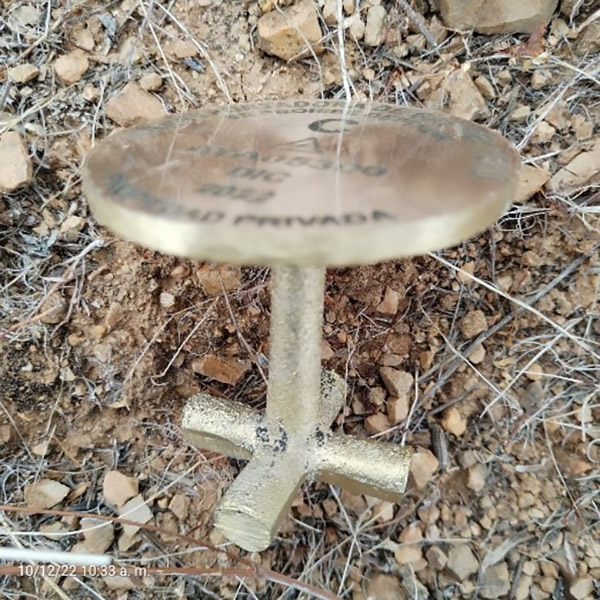
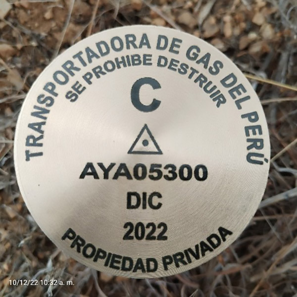
Monumentation of the milestone according to the technical specifications indicated by the IGN.
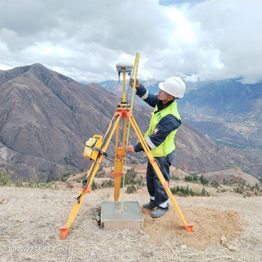
Reading of the geodetic point of Order “C” considering the continuous observation time of no less than 900 records or epochs.
Office Work
Phase 3
The office calculations will consist of all those operations that, in an orderly and systematic manner, calculate the corrections and reductions to the observed quantities and determine the parameters of interest through the use of appropriate criteria and formulas that guarantee the required accuracy. The data can be processed in any geodetic processing software.
Accuracy: Horizontal: up to 10.00 mm / Vertical: up to 15.00 mm
Ephemeris: For geodetic points of order "C", ultra-fast precise ephemeris (3 hours) will be used.
Deliverables
Phase 4
Data from the Permanent Tracking Station "ERP".
Monographic Description of the "ERP" GPS point.
Date of the geodetic point to be certified.
Project for processing the information of the geodetic point to be certified in "Trimble
Business Center" format.
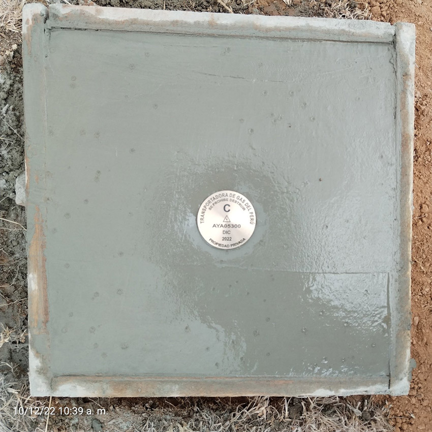
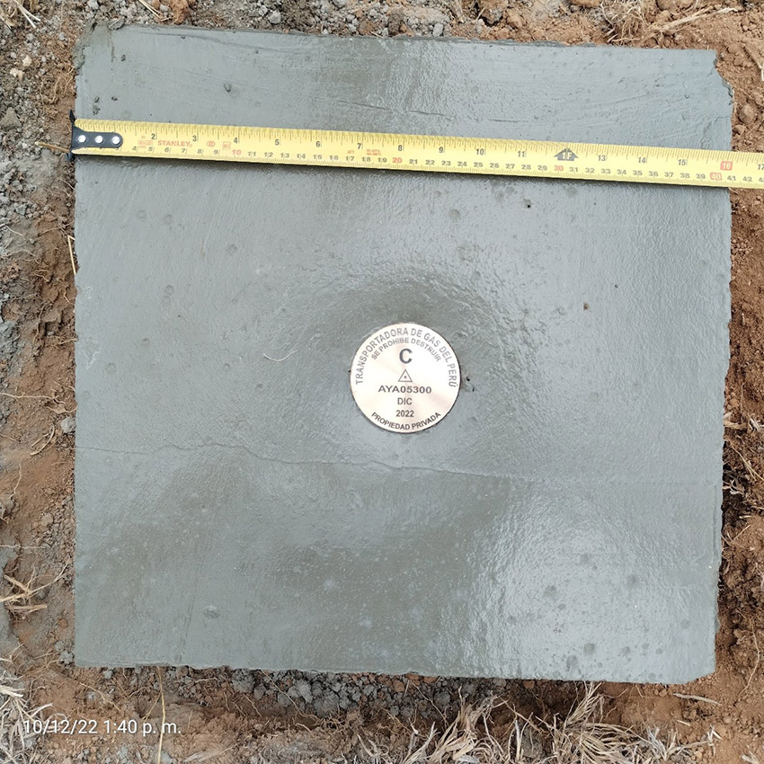
Images of the geodetic point to be certified (Photographic Panel).
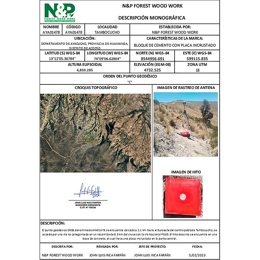
Monographic Description of the geodetic point to be certified.
Technical Report of the geodetic point to be certified.