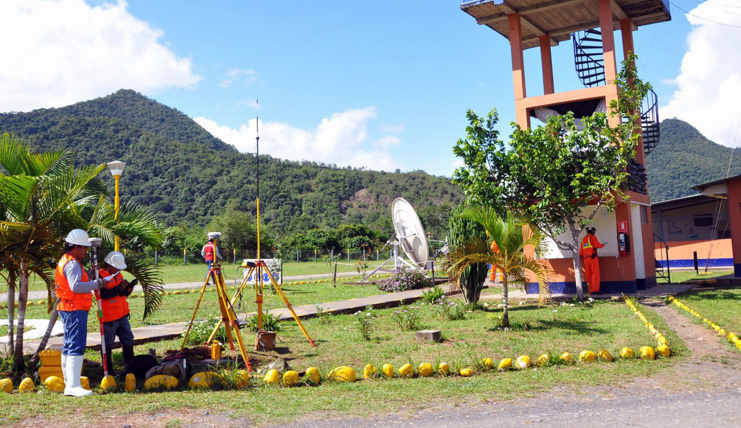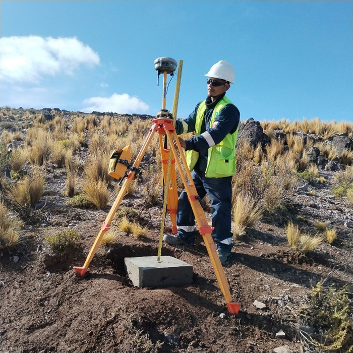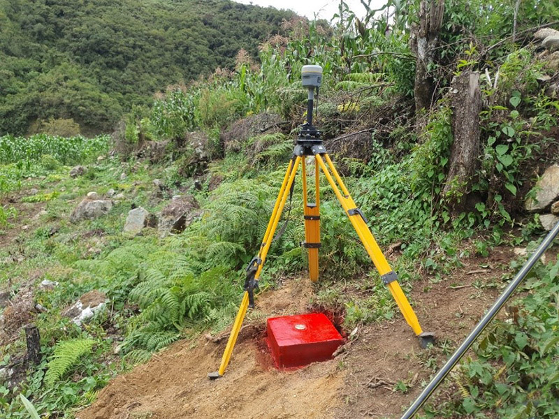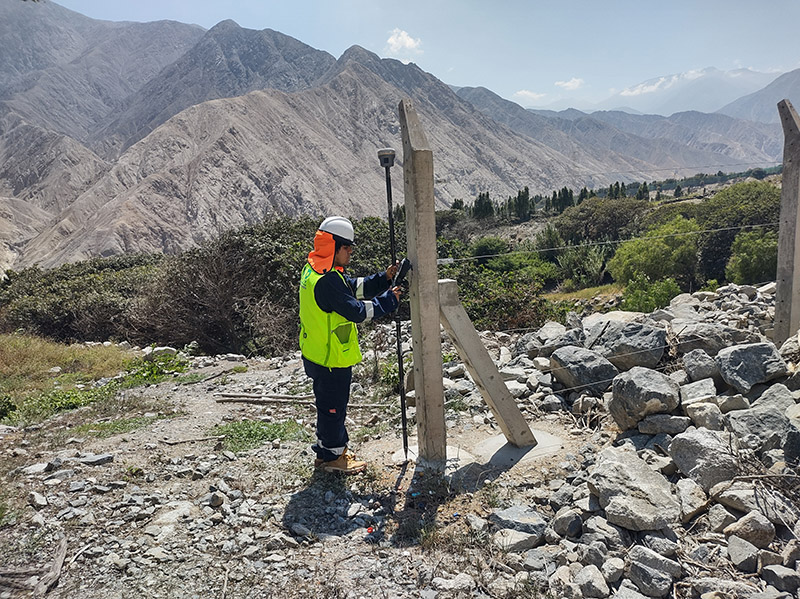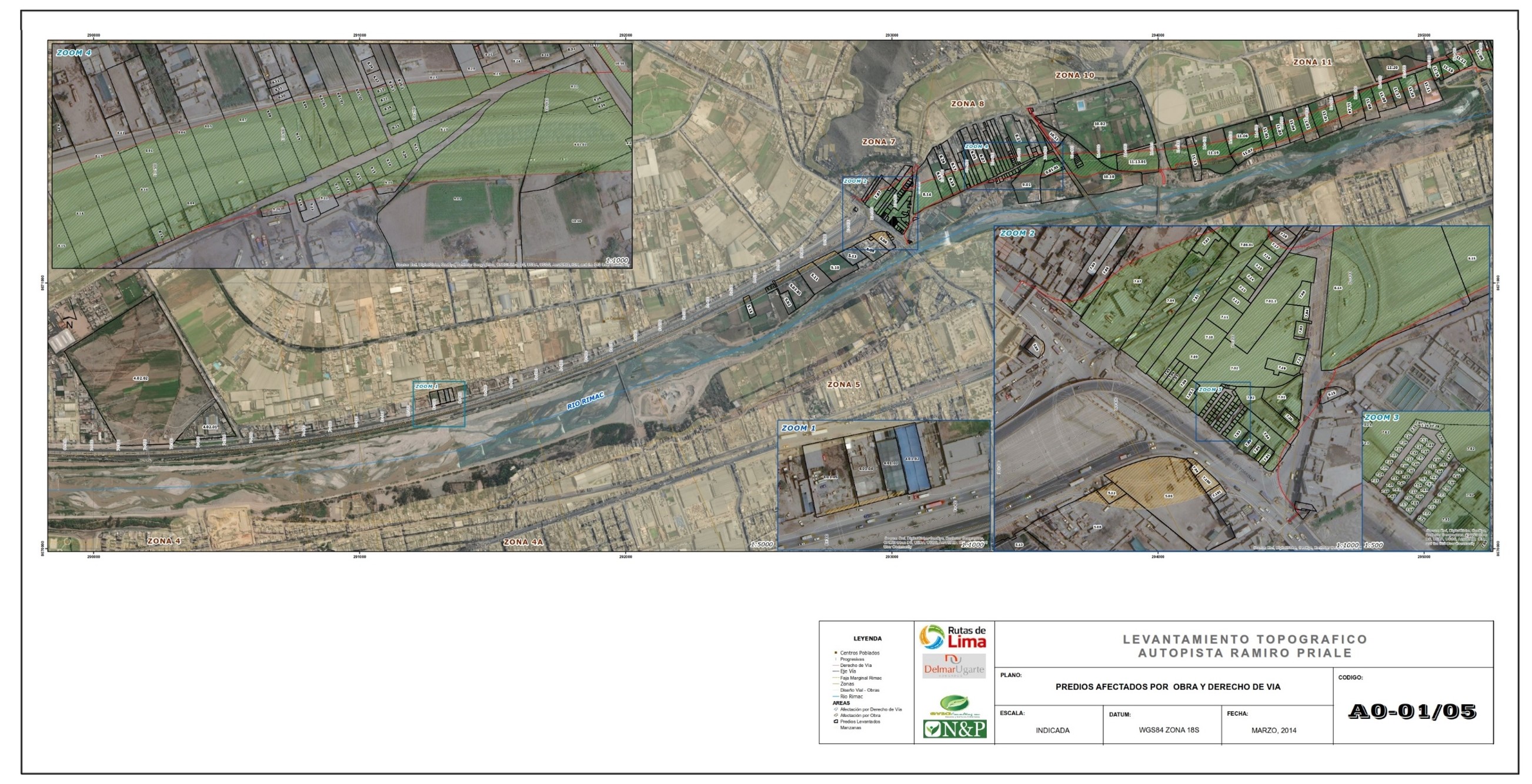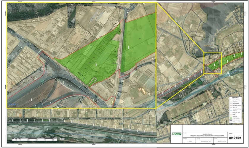
1. SURFACE TOPOGRAPHIC SURVEY
Topographic surveying is the activity that allows us to know with exact precision the technical description of a terrain, considering its physical, geographical and geological characteristics. It consists of collecting data to be able to make a plan that accurately reflects the elements and parameters of the terrain on which we want to act. N&P develops this service always linked to the IGN national geodetic network, using high-precision technological equipment, such as Differential GPS that takes millimeter-precision measurements.
When is a topographic survey required?
- Measurement of land, lots or urban or rural plots of interest.
- Carry out stakeouts of works on land.
- Carry out the delimitation, demarcation or cleaning of the boundaries of a property.
- Complement of expert reports.
- Require registration of easements or carry out property expropriations.
- Carry out leveling or profiles for project execution.
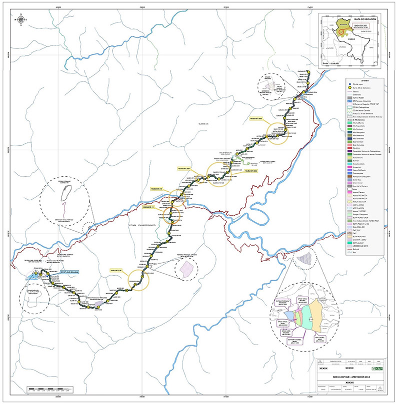
2. GENERATION OF CADASTRE
The rural and urban cadastre is a territorial management instrument where real estate is registered, describing its physical and economic characteristics, use, type of infrastructure and use rights, whether registered or not. N&P executes this service by applying field surveys with high-precision equipment, aligned with IGN regulations and GIS software to create a graphic base with the information processed for each property surveyed.
When is it required to generate a cadastre?
- When it is required to know the inventory of properties in a given area, to make decisions related to territorial management and socioeconomic development.
- Inventory of properties in risk areas.
- Registration of properties involved in the development of an investment project.
3. DIAGNOSIS OF RIGHTS AND LEGAL PHYSICAL HEALTH
For the start and development of any project that involves an economic investment, it is essential to have certainty and security regarding the ownership and ownership of the land where it is going to be established. This service carries out the search, analysis, identification and diagnosis of the existing rights over a piece of land. This information allows you to make planning-location decisions for required areas and formulate a strategy for the eventual acquisition of land or obtaining rights.
When is it required to carry out the diagnosis of rights and/or legal physical sanitation?
- When the legal status of a land or rights that exist in an area is not known.
- When the information related to a piece of land is insufficient or raises doubts.
- To have legal security of the land that you want to acquire or the rights you seek to obtain, such as easements.